
District Guide
Commercial Real Estate in Meatpacking District
Explore commercial buildings, nearby areas, and related space types in Meatpacking District, New York.
New York, NY
District guide
Area Map
Meatpacking District
Lower west side
At a Glance
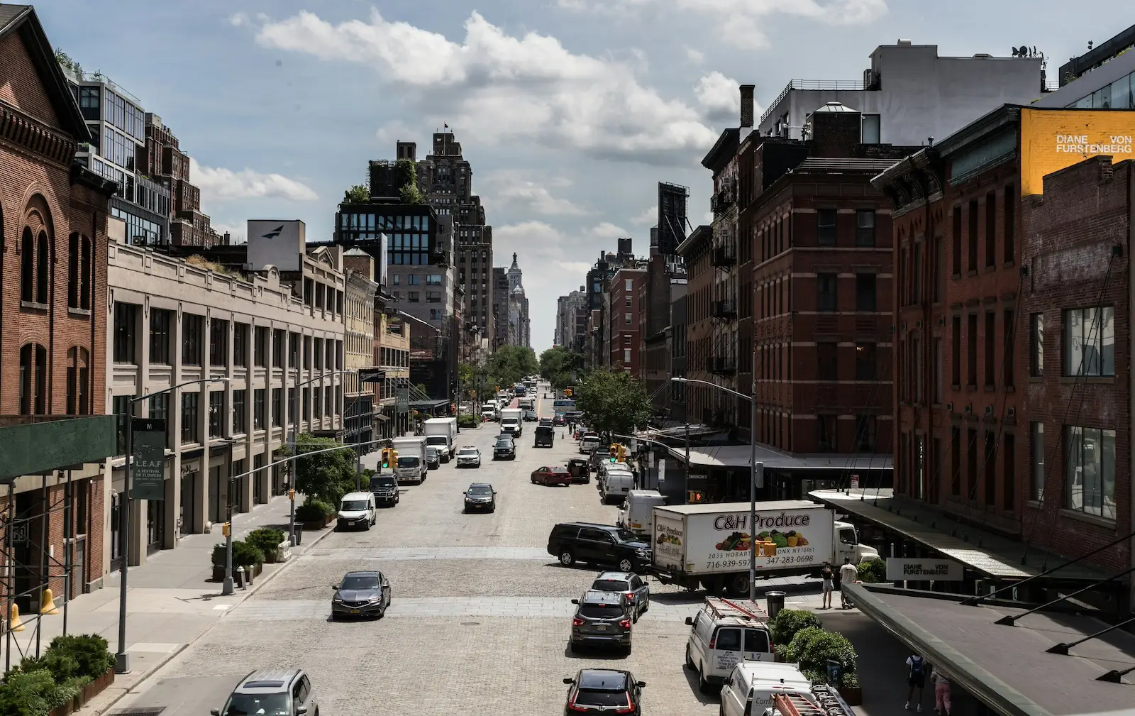
Meatpacking District at a glance
Representative setting
Selected examples of the local commercial environment
Space types
Office, Coworking, Retail
Nearby areas
Broader New York market
Creative office
fashion
Hospitality
west side
Common signals may reflect historical or contextual patterns. They do not represent live availability.
Location fit
Where Meatpacking District fits
Meatpacking District is a west-side creative office, fashion, hospitality, brand, and client-facing commercial district.
Creative hospitality office district
Creative and technology office district
Best fit
- Fashion, design, media, brand, hospitality, and creative office users
- Teams comparing Meatpacking with Chelsea
- Businesses that need west-side brand signal and client-facing texture
Less ideal for
- Formal finance users
- Industrial/flex users
- Cost-sensitive back-office users
Businesses comparing this district also evaluate
Compare Meatpacking District with Chelsea
Compare if broader west-side creative/gallery office context matters more.
Compare Meatpacking District with SoHo
Compare if showroom and retail-adjacent identity matters more.
Compare Meatpacking District with Hudson Yards
Compare if modern enterprise office scale matters more.
Representative Buildings
Representative buildings in Meatpacking District
Selected examples that help ground the area's commercial texture.
Nearby commercial districts
Compare NYC Metro commercial alternatives
Use these relationships to place Meatpacking District within NYC borough, airport/logistics, healthcare, industrial/flex, and regional office alternatives.
Related Space Types
Related space types
Explore commercial space types across the broader New York market.
Broader Market
Compare the broader New York market
Use the broader city page and market guide to continue comparing commercial real estate options across New York.